5 站
Palace of Fine Arts to Baker Beach: a Presidio day by the Golden Gate
@testaccount
A half-day, mostly downhill walk that links four Inca sites above Cusco, from a water shrine to the huge zigzag-walled fortress at the top of town. It suits steady walkers who like a long outdoor day and are comfortable at altitude.
4 个步骤 · 6.6 km
按顺序,在它发生的地方。
Tambomachay
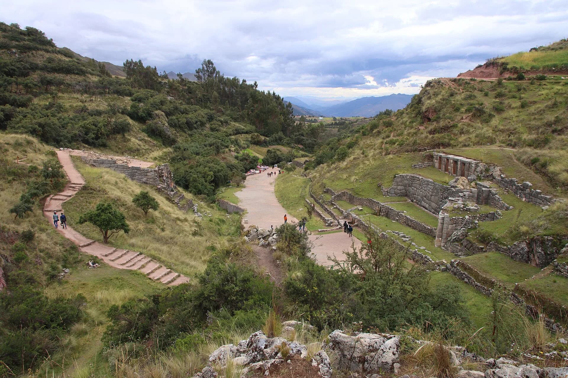
Take a taxi or local bus up to Tambomachay, the water shrine with stone channels and fountains. This is the top of the route, so everything after it is downhill. You need the Cusco tourist ticket for this circuit, so have it ready.
Puka Pukara
Cross the road to Puka Pukara, a small red-tinted stone complex that looks over the old road. It is a short stop and a good place to catch your breath. Plan the day so that you pass here in daylight, since the area is best avoided late in the evening.
Q'enqo
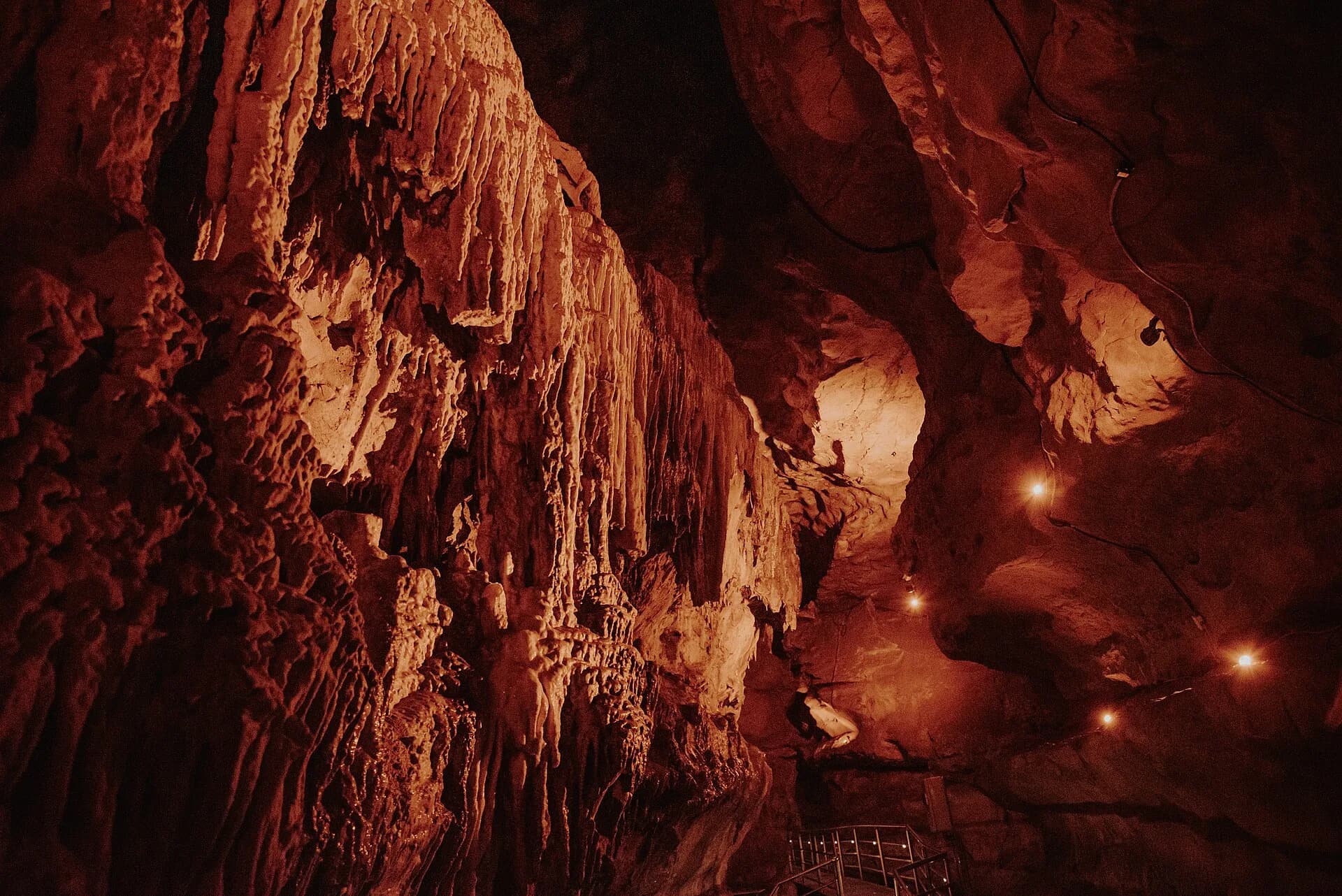
Follow the path downhill for about three quarters of an hour to Q'enqo, a limestone outcrop carved with channels and chambers. Bring water and wear shoes with grip on the slippery slopes. Take your time with the altitude.
Sacsayhuaman
Finish at Sacsayhuaman, the fortress with three terraced walls of enormous stones fitted together without mortar. The longest wall runs several hundred metres and the biggest blocks weigh well over a hundred tonnes. From here it is a short walk down into the old town.
在应用中打开,复制一份属于你的,然后一站一站去体验。
这个 Dump 侵犯了你的权利? 举报