5 站
Palace of Fine Arts to Baker Beach: a Presidio day by the Golden Gate
@testaccount
A half day on the island's rugged north coast: gorse-covered cliffs, a collapsed sea cave called Devil's Hole, a country pub lunch and a wide bay with a beach cafe. It suits walkers who like views and fresh air, with a short drive at the end.
4 个步骤 · 6.3 km
按顺序,在它发生的地方。
Sorel Point
Park near the northern tip of the island and take in the cliffs from the headland. The coast path heads west from here, steep and clad in gorse and bracken, so wear proper shoes and check the forecast before you set off. Spring and early summer are especially colourful.
Devil's Hole
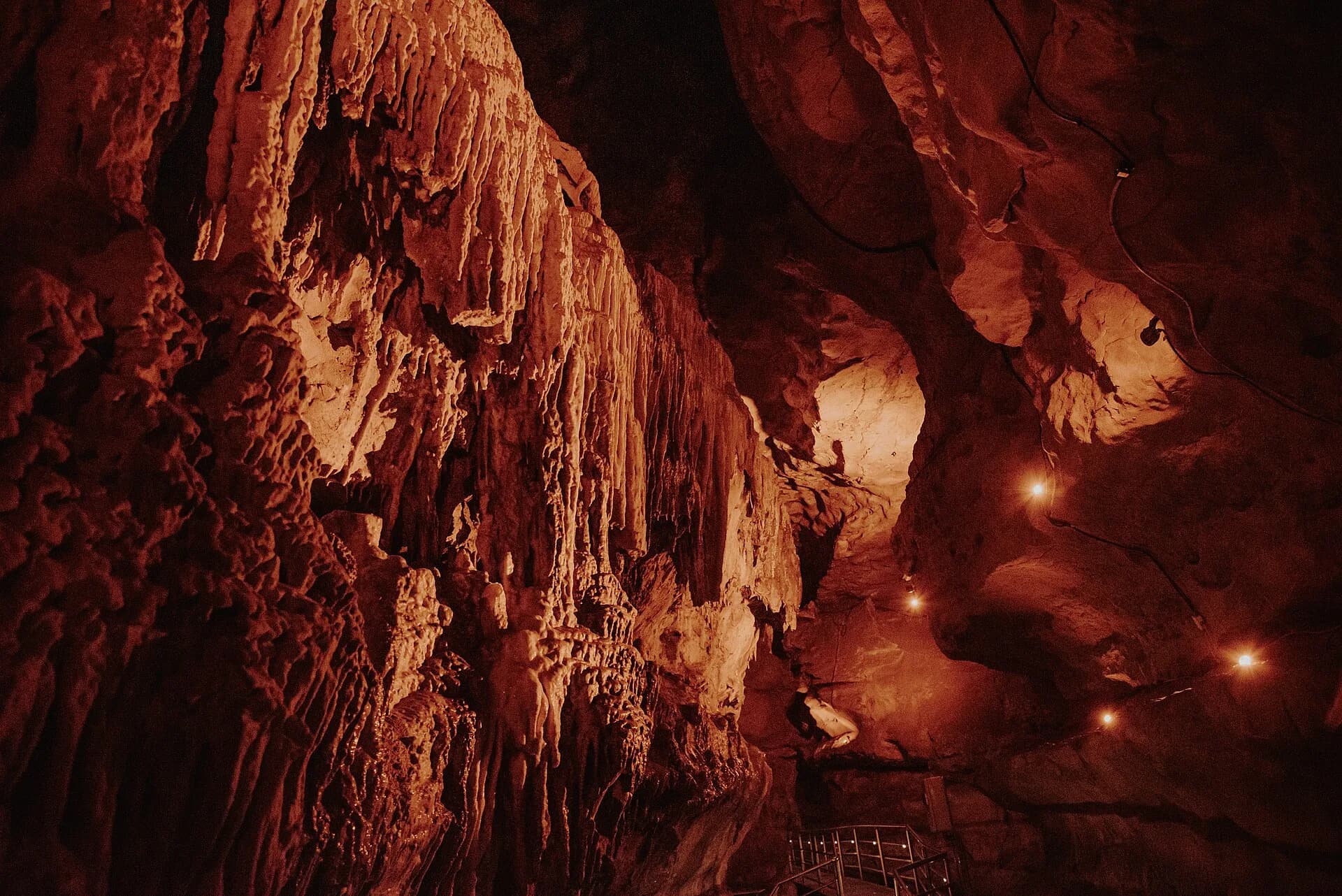
Follow the cliff path west through the green Mourier Valley to Devil's Hole, a sea-filled collapsed cave where the waves boom below a viewing platform. The path has ups and downs, so allow an hour or two. Keep to the marked edges, the drops are real.
The Priory Inn
Just a five-minute walk from Devil's Hole, this country pub serves hearty seasonal food, real ales and ice cream. On a fine day grab a seat in the decked garden with countryside views, or in winter sit by the log fire. Check opening times before you go.
Plémont Bay
Drive west to Plémont Bay for a beach stroll at low tide and a stop at Plémont Beach Café, known for its ice cream and homemade waffles. The cafe is closed on Tuesdays and in December. Check the tide and take care on the steep path down.
在应用中打开,复制一份属于你的,然后一站一站去体验。
这个 Dump 侵犯了你的权利? 举报